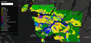
RELEASE: New Historical Zoning
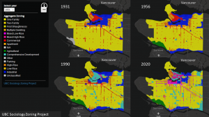
We’re now releasing Historical Zoning Maps for the City of Vancouver from 1931-2020
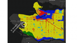
HISTORY: St. George’s slays the UEL
How did that triangular patch of RS-1 get there?
TEAM: We’re Hiring!
The research assistant position will support the project through building and maintaining spatial data pipelines, spatial databases and spatial data analysis under the guidance of the principal investigators…
Zoning Maps!
Click to link directly to our first zoning map, or drop by our maps page above, detailing all maps, categories, and methods.
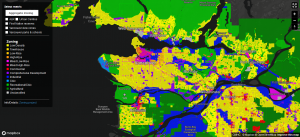
Interactive Zoning Maps
Metro Vancouver Zoning Maps Available or in Progress through the project. This list will be updated regularly. Zoning data obtained from most recent municipal zoning ordinances for all Metro Vancouver municipalities. Multiple coders from our team review each zone, collecting information on key regulations influencing what can be built on the land and how it […]
Research Team
Co-investigators Nathanael Lauster, UBC Sociology – Professor Lauster is a sociologist and sometime demographer at the University of British Columbia who primarily studies housing, cities, urban policy, home, and households. In addition to numerous articles, Nathan is also the award-winning author of The Death and Life of the Single Family House: Lessons from Vancouver on […]
MEDIA: UBC Sociology’s Zoning Project cited in News Op-Ed
Op-ed cites importance for housing affordability in BC
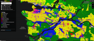
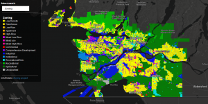
RELEASE: Preliminary Interactive Zoning Map for Metro Vancouver
our first map release out now.
Featured Zone
Attempting to highlight some of the thousands of distinct zones we’ve coded across Metro Vancouver
